• info@gyangeomatics.com
  • +91-522-278-9904

Instrumental Survey

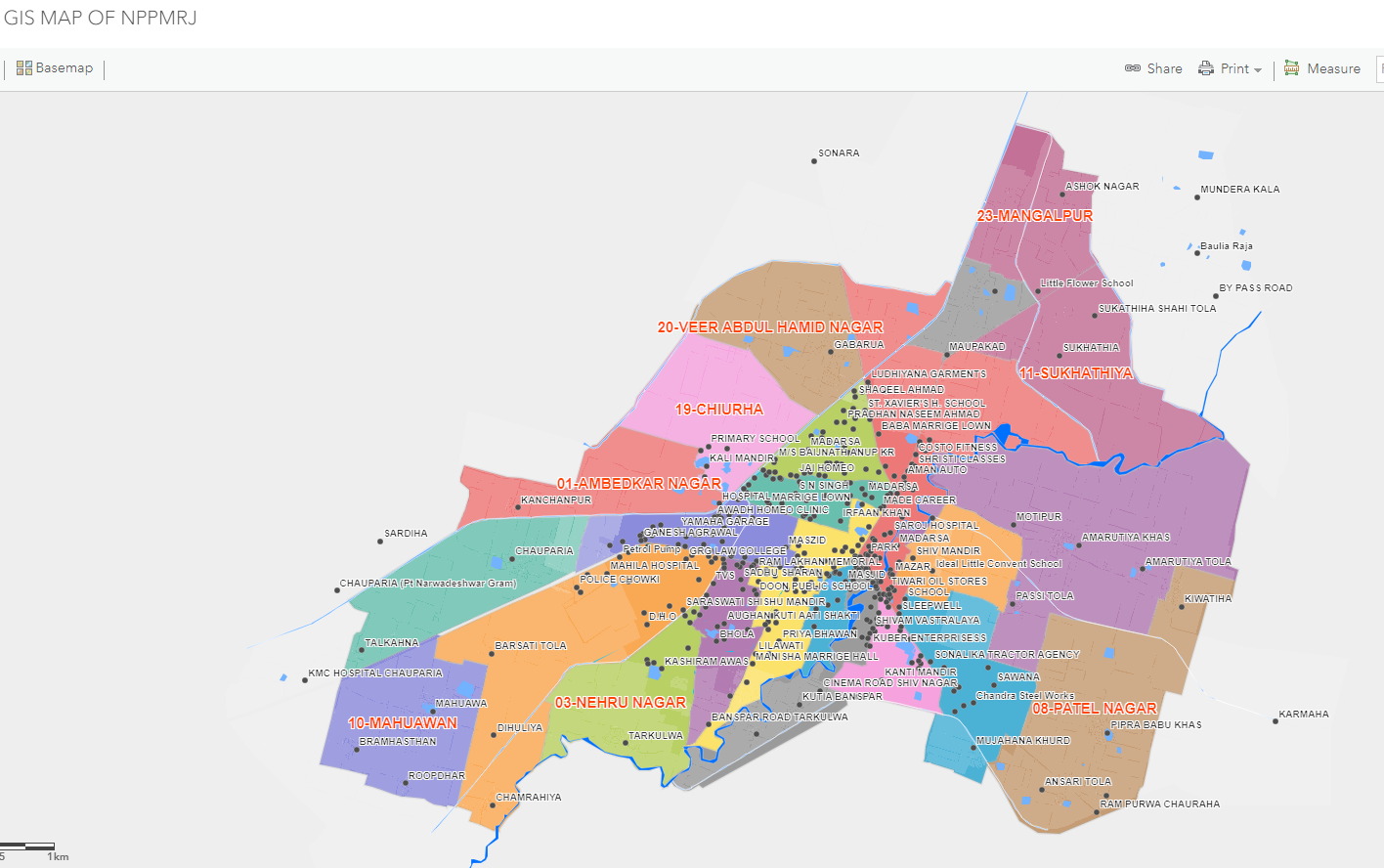
Gyangeomatics offers a complete range of services from base map creation, DGPS survey, field survey, drone survey, LiDAR survey, enterprise GIS platform, and customized web GIS and Mobile application.

With the combination of both GIS and Surveying, it can add a lot of value to commercial, industrial and oil & gas construction projects. These two powerful tools are used together to deliver highly accurate information. Surveying refers to making relatively large-scale, accurate measurements of the Earth’s surfaces. It is a technique that includes the determination of the measurement data, the reduction, and interpretation of the data to a usable form, and conversely, the establishment of relative position and size according to given measurement requirements.

Surveying has been an essential component in the development of the human environment for many years. It is required in the planning and execution of almost every form of construction. In today’s times, surveying is implemented in the fields of transportation, building, the appointment of land, and communications. The surveyors have to work with the elements of geometry, trigonometry, regression analysis, engineering, physics, metrology, programming language, and the law.